Google celebrates Google Earth's 20th anniversary with historical Street View
Google is celebrating Google Earth's 20th anniversary by providing historical Street View photos. You can explore how places have changed over time.
Google says it was inspired by a social media trend last year, when people were sharing historical images of Google Maps to compare how places look now compared to many years ago.
In 1999, a company called Keyhole, Inc was created by the people at Intrinsic Graphics. They designed a software featuring a zoomable earth, with various map data. It was called Keyhole EarthViewer. Google acquired the company in 2004, and released Google Earth for desktop in 2005. At that time, it was downloaded over 100 million times in its first week. Users were awed by the ability to explore landmarks, cities, etc. It is used by scientists, researches, and has even helped support rescue efforts, relief operations during natural disasters like hurricanes.
Twenty years later, the service is now used widely across Android, iOS, and desktop platforms, and provided detailed information sourced from aerial photography, satellite imagery, Street View and 3D visuals. In 2024, Google Earth was used over 2 billion times. Google released a timelapse feature in 2021, to show how Earth has changed in the past 30 years.
Now it has curated different timelapses to help users see what 20 years of urban changes looks like from space. Want to see the world's energy sources? How about a look at how landscapes have changed over the past 2 decades. Head to Google Earth and start exploring the world from your device.
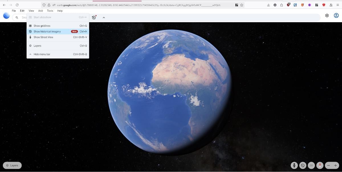
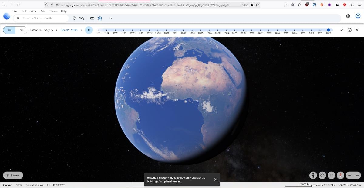
Go to https://earth.google.com/web/ and click on View > Historical Imagery, or press Ctrl + H to view a timeline manually, or click the timelapse button and watch the magic.
Google added Gemini AI to Google Earth last year, the company says that it will add more AI tools to the software to help premium users to get unique data layers like land surface temperature, tree canopy coverage, and rooftop reflectivity, to assist urban planners on how to keep buildings such as homes, businesses cooler by absorbing less heat.
RECOMMENDED NEWS

Microsoft shows another Bing popup advertisement to Windows users
Microsoft has done it again. This time, the company displayed a popup advertising its Bing search s...

Netflix starts pushing Basic users to other plans forcefully
Netflix has started to ask basic plan customers to pick another plan to continue using the service ...

Nvidia Confirms Manufacturing Flaw in Early RTX 5080 Graphics Cards
Nvidia has officially confirmed that its RTX 5080 graphics card is also affected by the same rare m...

Firefox: Mozilla confirms support for classic extensions and Manifest V3 add-ons
While Google is ending support for classic extensions for more users of its Chrome web browser, sev...

Far Cry Multiplayer Game 'Project Maverick' Undergoes Development Reset
Ubisoft has reportedly restarted development on an unannounced live-service project set in the Far ...

New AI Trust score reveals DeepSeek leads in sensitive information disclosure
Recent evaluations reveal that Chinese AI models, particularly DeepSeek, are outperforming their Am...
Comments on "Google celebrates Google Earth's 20th anniversary with historical Street View" :